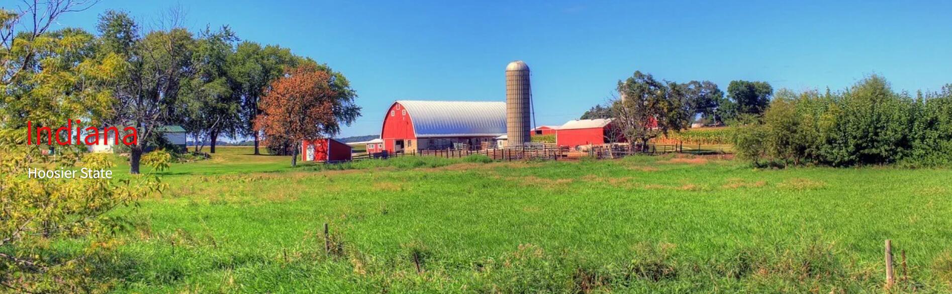
Information Indiana
Indiana is also known as the Crossroads of the United States because of its many transport options. The state used to consist of more than 80% forest, but since the logging around 1800 only 20%. The north of the state belongs to the Great Lakes region. In the south, Indiana is mainly hilly with deep valleys. South of the city of Bloomington you will find a large limestone area with all kinds of caves such as the large Wyanndotte Cave. The capital of Indiana is Indianapolis, where the Indy 500 is held annually.
Geography
Indiana is located in the Midwest and borders the states of Illinois, Michigan, Ohio, and Kentucky. Indiana is 440 kilometers from north to south and 150 miles from east to west. The flat part of the state is made up of prairies, while the south is made up of hills and forests. The highest point in Indiana is the 383-foot Hoosier Hill. The state has few major rivers after the Ohio River.
History
The main Native American tribe in this area was the Miami tribe, but much earlier the builders of the remarkable prehistoric mounds, many of which can still be found. La Salle explored the country in 1679. In 1763 the area was surrendered to England and in 1787 it became part of the Northwest Territory, which in 1800 was divided into two parts: Indiana and Ohio.
A bloody war was waged against the Miami Indians; their chief Little Turtle defeated General Harmar (1790) and General St. Clair (1792), but was defeated by General Anthony Wayne (Battle of Fallen Timbers, 1794). At the Treaty of Greenville (1795) they had to give up a large piece of land. In 1811 Governor WH Harrison defeated Indian chief Tecumseh at Tippecanoe, leaving the land largely open to the whites. In 1816, Indiana was incorporated into the Union as the 19th state. The area was reclaimed by various groups of settlers.
The state had many settlers from the south, but still largely loyally supported the Union in the Civil War. However, there were more supporters of a policy of appeasement than in most northern states. Particularly in the countryside, there was much opposition to racial integration, which in the 1920s was expressed, among other things, in racial unrest and the large following of the Ku Klux Klan. Traditionally, the state has been ruled by Republicans; their best-known representative was W. Willkie, Roosevelt’s opponent in 1940.
Economy
In Indiana, industry, land and mining are the main source of income. The loamy area in the middle of the state supplies soybeans, corn wheat and oats. In the northeast of the state, these are tomatoes, earth shells and onions, and in the south, fruits, vegetables, grains and tobacco. Mining supplies coal, oil and natural gas. The iron and steel industry is among the largest in America. Other major revenues come from the supply of parts for the aerospace, automotive and electronics industries.
| Abbreviation: | IN |
| Nickname: | Hoosier State |
| Joined the US as the 19th state on: | 11 december 1816 |
| Capital city: | Indianapolis |
| Census: | 6.516.922 |
| Surface: | 94.321 km² |
| Geography: | Bordering Michigan, Ohio, Kentucky and Illinois |
| Governor: | Eric Holcomb |
| state motto: | The Crossroads of America |
| Indiana official website: | in.gov |